 Search Articles

SACRAMENTO, Calif. (CN) — Parts of California once mired in historic drought are now on alert for flooding as unusually high temperatures have officials predicting a massive snowpack melt into May.
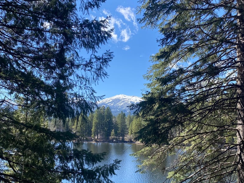
State officials said in a briefing Monday that the Tulare Lake Basin and San Joaquin Valley are key concerns for officials watching for major flooding, as those areas are located downstream from the record-breaking snowpack in the southern Sierra Nevada mountains.
The U.S. Drought Monitor indicated most of the state is currently completely out of drought, with only areas in the southeastern desert regions and near the Oregon border measuring as abnormally dry or in moderate drought. The state has said the tracker does not account for snowmelt outcomes or how rainfall received over the winter will affect groundwater basins.
State climatologist Michael Anderson said it is unclear if more wet weather will hit the state this spring, as the West transitions from neutral conditions to warm, moist El Niño conditions later this year.
What is known is that starting this week around Thursday, temperatures will warm significantly. Minimum temperatures in the higher elevations will be in the upper 50s to lower 60s — about 10 degrees above average, Anderson said.
“Toward the end of the week we see a warm-up, and with that warm-up comes more snowmelt,” he said. “We will see melt happening up to the top of the watersheds.”
Anderson said that although the state is concerned about the southern Central Valley, it does not yet know when or if flooding will occur within the Tulare Lake bed.
The Statewide Groundwater Management Office’s deputy director Paul Gosselin said that Governor Gavin Newsom’s recent executive orders have streamlined the flood diversion process. He said state crews are now busy trying to alleviate any stress around water bodies like Tulare Lake, including via temporary pumps and moving water to recharge zones.
Anderson said the March flood sent at least 300,000 acre-feet of water into the Tulare Lake bed, but it is not yet known how many total acres cover the basin – much of which is privately owned agricultural land. About 55,000 acre-feet of water has been diverted from the basin since March.
Once the largest freshwater lake west of the Mississippi by surface area — and the second largest in the United States — Tulare Lake went dry after California diverted all its water sources to quench the thirst of residents and agribusiness. But wet years occasionally fill parts of the old lake bed with water.
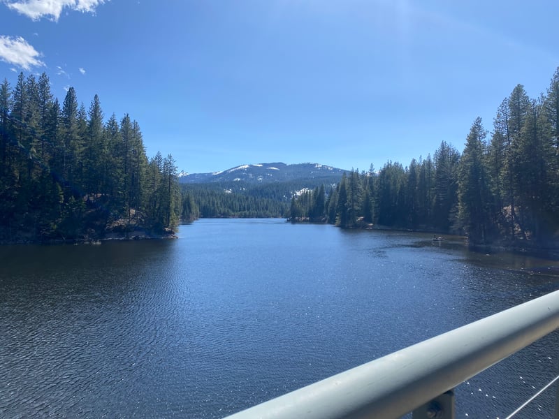
Pivoting to reservoir management, Anderson said the Kings River watershed, the State Water Project’s largest, boasts the largest snowpack and its storage areas are currently at 46% of capacity.
Of the key State Water Project basins, Shasta and Lake Oroville are well above average capacities at 95% and 90%, respectively, while Trinity remains well below average at 45%. The southern San Joaquin reservoirs Millerton and Pine Flat are only at 29% and 46% of their respective capacities, but Anderson said Millerton may need to release water if the state enters an extended warm period.
Other reservoirs across the state expect to maintain their current rate of water releases into downstream areas, unless flows significantly change.
Asked if people near high-risk areas should start to worry about flooding, he said, “There is a risk that releases will exceed channel capacity" later in May.
“This week, we would not expect to see flooding below the reservoirs,” Anderson added. When pressed about National Park Services’ warning that Yosemite National Park is expected to see flooding from its rivers and creeks by Friday, he said that is a different situation than a downstream flow on the valley floor below the reservoirs.
The state’s Office of Emergency Services deputy director Brian Ferguson said that while the sun is out, the state will work to mitigate any impacts from melting snowpack now and in the future, while recovering from floods that have already come.
“We are not out of the woods, by any stretch of the imagination,” he said.
Ferguson said the state is always monitoring signs of water flow to protect infrastructure and residents, but encouraged Californians to sign up for emergency alerts.
“All of the science that we’re talking about is really in service of triaging the emergency response and understanding our risk and how to mitigate it,” he said. “We’ve been fairly lucky with the pace of the water — we hope to keep it that way.”
 Follow @nhanson_reports
Subscribe to our free newsletters
Our weekly newsletter Closing Arguments offers the latest about ongoing trials, major litigation and rulings in courthouses around the U.S. and the world, while the monthly Under the Lights dishes the legal dirt from Hollywood, sports, Big Tech and the arts.