 Search Articles

RICHMOND, Va. (CN) —The Fourth Circuit courts heard arguments Tuesday morning on whether selling maps and models of geographical information is protected free speech or if the plaintiffs who brought the case are required to become licensed land surveyors.
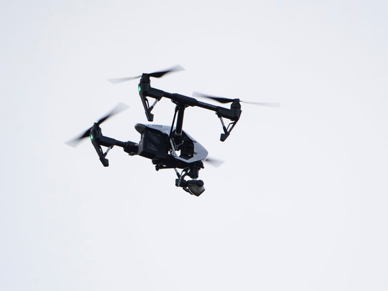
In a case that was originally filed in the Eastern District of North Carolina, Michael Jones and his business 360 Virtual Drone Services challenged the North Carolina Board of Examiners for Engineers and Surveyors, which had told Jones that he could not use his drones to produce and sell maps of land. Jones had been producing maps using photos taken by drones to help update his customers on ongoing construction and to determine crop damage after a storm. Jones also created 3D models to communicate information about distances and elevation.
On summary judgment in favor of the board, U.S. District Judge Louise Wood Flanagan wrote in her order that the plaintiffs could “convey images” but were restricted in creating maps, models, or property images including measurements.
“The record evidence reflects that the act establishes a minimum level of competence, thereby protecting the public from negligence, incompetence, and professional misconduct,” Flanagan wrote. “The act also protects the public from misrepresentations as to professional status or expertise, and additionally creates a system of accountability by instilling with the board authority to hold licensees accountable for malpractice.”
On appeal, the plaintiffs argued the current surveying law burdens free speech. “At base, what Jones wants to do is create and disseminate information. The board says he can’t — because of that information’s content,” the plaintiffs say in their brief.
In court Tuesday, their attorney Samuel Gedge argued that requiring Jones to get a surveying license violates his First Amendment rights. The license would require years of training to sell his photos and maps, which Gedge says is speech.
“What’s triggering this licensing restriction is the fact that his photographs have certain kinds of information, and he is sharing them with other people,” Gedge said. “The same First Amendment rules that apply to laws in general apply with equal force for licensing laws.”
Arguing for the state board, attorney Douglas Hanna said Jones wants to do more than take photos and sell them. “He’s certainly free to take photographs, sell photographs, take video, sell video. This case though, is about the conduct, the work he undertakes to create measurable maps. He wants to sit down in front of a computer. He wants to sketch up property diagrams. He wants to create a flight plan, where a certain number of pictures need to be taken," Hanna told the panel.
U.S. Circuit Court Judge Stephanie Thacker said, “Sounds like a survey.”
According to the board, states are able to regulate professional conduct, even if it “incidentally” involves speech. “Plaintiffs do not have a First Amendment right to practice land surveying without a license,” the board argues in its brief. “Plaintiffs’ theory would gut licensing regulation of professions, including for the practice of law, medicine and engineering.”
Gedge and Hanna disagreed on the First Amendment’s relationship to professional licensure requirements.
Gedge argued that laws that don’t outright ban speech can still restrict speech, if they say “you have to spend 10 years getting a license before we’ll let you engage in this speech.”
Hanna said that restrictions are necessary to protect the public, and that there is a certain level of competency attained through education, experience and training.
“There’s more than a hundred years of Supreme Court precedent and the Supreme Court has told states that you have broad power to regulate these professions. Why? Because the public needs to know that there are minimum standards before you can become a doctor, lawyer, land surveyor, engineer. Somebody is relying on your degree of expertise. And if you make an error, that’s going to harm the public,” Hanna said.
But Gedge argued what his client wants to do doesn’t trigger the need for a license.
“He doesn’t want to stamp plans and give them legal efficacy. He doesn’t want to submit surveys to the local register of deeds and give them legal efficacy," Gedge told the panel. “All he wants to do is take photographs, and provide those photographs to willing consumers. And the position of the board is that it is a crime for him to do that.”
The group’s ex-president claimed he was trying to look into the NRA’s legal fees, which skyrocketed amid financial turmoil.
Gedge said that he’s looking forward to the panel’s decision. The judges did not say when they would rule.
“Today’s argument underscored the surveying board’s radical misreading of the First Amendment,” Gedge said. “At base, the board insists that people need a full-blown land-surveyor license to share photos with even basic locational information about land. As today’s today’s argument spotlights, the board’s logic would let it prosecute even Google Earth for unlicensed surveying (an obvious First Amendment red flag).”
Hanna did not reply to a request for comment.
U.S. Circuit Judges G. Steven Agee and James Wynn joined Thacker on the panel. Agee was nominated by George Bush, and Wynn and Thacker were both nominated by Barack Obama.
 Follow @SKHaulenbeek
Subscribe to our free newsletters
Our weekly newsletter Closing Arguments offers the latest about ongoing trials, major litigation and rulings in courthouses around the U.S. and the world, while the monthly Under the Lights dishes the legal dirt from Hollywood, sports, Big Tech and the arts.