 Search Articles

SACRAMENTO, Calif. (CN) — Although the West is still enjoying the effects of an exceptionally wet winter, climate experts say that extreme heat waves will continue chipping away at the benefits.
Just 9.5% of California and Nevada remained in drought on July 20, compared to 99% at the beginning of the water year in October 2022. Drought conditions persist in areas that did not receive this past winter’s deluge, including parts of southeastern California and southern Nevada.
As the great snowpack melts, drought conditions continue to improve all around, according to climate researcher Julie Kalansky, deputy director of the Scripps Institution of Oceanography at UC San Diego.
However, she said that extreme temperatures that have been shattering records across the globe are threatening to dry things out again.
Over the last 30 days, particularly in the last seven, “We’ve seen throughout much of the region a four to six degree anomaly (variance), in how warm it’s been,” Kalansky said.
Coastal California was much cooler than most parts of the West that baked in a string of July heat waves. But Kalansky said the heat domes increase what is called evaporative demand — how much water is taken up into the atmosphere, as conditions dry and heat up.
“That being said, if we’re looking at soil moisture, it’s still in the 30% to 70% of normal range,” Kalansky said.
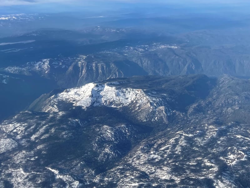
Snowpack persists in the mountains, which is highly unusual for July. The melt has kept streams across the state flowing at exceptionally high rates, sending huge amounts of water into reservoirs that have seen storage double statewide since July 2022.
Lake Shasta, the linchpin of the state’s Central Valley Project water delivery system, stands at 88% capacity, which is 124% of its historic average. Lake Oroville stands at 95% capacity, 137% of its historic average.
Fire danger remains relatively low in California compared to Nevada, which is seeing elevated to major fire risk in some areas due to ongoing drought.
Kalansky said the West will likely see higher than normal temperatures through August. But if the strong El Niño arrives as predicted the Southwest could see higher than average rainfall by October as well as higher sea levels and stronger coastal winds.
“Even though there is the forecast for El Niño this winter, there is still a lot of variability for what this winter may bring,” Kalansky said.
Northern Californians should see milder weather for the next seven days, particularly those in inland regions who saw an exceptionally hot weekend.
The National Weather Service’s Sacramento office reports that a trough of low pressure is moving from the Gulf of Alaska into the Pacific Northwest, bringing some synoptic cooling with temperatures running five to 10 degrees cooler than Sunday. Another low pressure area ridge Wednesday should keep temperatures near or below normal through the week.
Much of inland central and Southern California from Merced to Lancaster will see high temperatures past 100 degrees Fahrenheit at least through Tuesday, according to the service’s San Joaquin office. But those regions can expect relief from triple-digit heat to begin by Thursday afternoon.
 Follow @nhanson_reports
Subscribe to our free newsletters
Our weekly newsletter Closing Arguments offers the latest about ongoing trials, major litigation and rulings in courthouses around the U.S. and the world, while the monthly Under the Lights dishes the legal dirt from Hollywood, sports, Big Tech and the arts.