
 Search Articles


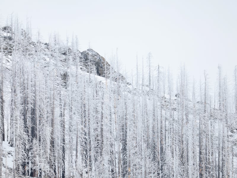
PHILLIPS STATION, Calif. (CN) — A light snow soon grew heavy Friday morning as state workers performed what’s arguably the season’s most anticipated snow survey at Phillips Station.
The April 1 survey, performed days early because of an expected storm, is viewed as key because that’s when snowpack is considered at its peak. The sun’s angle, along with the state entering its dry season, means the snowpack will begin melting. Over the coming weeks and months, snowpack will fill California’s rivers and, ultimately, its reservoirs.
The survey is essential for water managers across the state. They use it to determine how much runoff will reach state rivers and reservoirs.
At Phillips Station, near South Lake Tahoe, Friday’s survey recorded 39.5 inches of snow with a snow-water equivalent — the amount of water if the snow were melted — of 17 inches. That’s 70% of average at that spot for this time, around 6,800 feet above sea level.
Statewide, the snowpack was at 90% of average for the date.
“Ninety percent snowpack, that’s pretty good,” said Andy Reising, manager of the Department of Water Resources’ snow surveys and water supply forecasting unit. “I’m feeling generally positive.”
However, Reising added that the situation can change rapidly.
“We know that floods and droughts can happen at any time,” Reising said. “It is the California way of life.”
This year started with snowpack at Phillips Station at 108% of average. That fell to 69% of average about a month later, and 58% late last month.
“It’s great news that our state’s snowpack has recovered from several weeks of extremely dry conditions in the heart of our winter storm season,” said Karla Nemeth, director of the state’s Department of Water Resources, in a statement. “However, it’s not a wet year across the entire Sierra Nevada. The north has great snowpack, but snowpack is less than average in the central and southern part of the mountain range.”
Phillips Station is in the American River Basin. When snow melts in that region, it feeds into the American River and then the Folsom Reservoir.
Almost all state reservoirs are above their historic average. California’s largest reservoirs, Shasta and Oroville, are at 111% and 120% of average, respectively. Statewide, reservoirs are at 115% of average.
The water resources department likes to perform its monthly snow surveys as close to the first of the month as possible, however it has a 10-day window in case the weather would make the survey overly difficult.
That’s the case late this coming weekend and into Monday. The state opted to hold its survey Friday and will include new snowfall totals into its statewide average, providing an update on Tuesday. Despite the anticipated rainfall, the department doesn’t foresee much change.
The week started with temperatures climbing into the 80s in the Sacramento region. They plummeted later in the week. Some areas received brief rain showers on Friday.
A break in the rain is forecast for Saturday, said Idamis Shoemaker, lead meteorologist with the National Weather Service.
A storm will then move into the region Sunday and into Monday, bringing with it an estimated quarter- to half-inch of rain in the Sacramento area, Shoemaker said.
“We could be seeing amounts anywhere up to 1 to 2 feet of snow above 5,500 feet,” she added. “Again, those are preliminary amounts and things could change.”
Another storm system is expected Tuesday through Friday, though the weather service doesn’t yet have rain and snowfall forecasts for it.
Subscribe to our free newsletters
Our weekly newsletter Closing Arguments offers the latest about ongoing trials, major litigation and rulings in courthouses around the U.S. and the world, while the monthly Under the Lights dishes the legal dirt from Hollywood, sports, Big Tech and the arts.